2.5. HTA: Hazard to Asset
2.5.1. Regional Mapping
In a regional analysis, hazard intensities need to be specified over a geographic area. In some cases, hazard intensities are defined along a grid of points instead of at the exact location of an asset. The Regional Mapping pane, shown here with the Nearest Neighbor Event application selected as the Regional Mapping Application, provides a method for an asset to locate the nearest grid point(s) from which it will obtain the hazard intensities.
2.5.1.1. Nearest Neighbor Event
The Nearest Neighbor Event application draws samples of hazard intensities from nearby grid points. The Nearest Neighbor Event input pane, shown in Fig. 2.5.1.1.1, requires the following inputs:
Number of samples: Controls the number of samples considered at each grid point.
Number of neighbors: Number of neighboring grid points that samples will be drawn from.
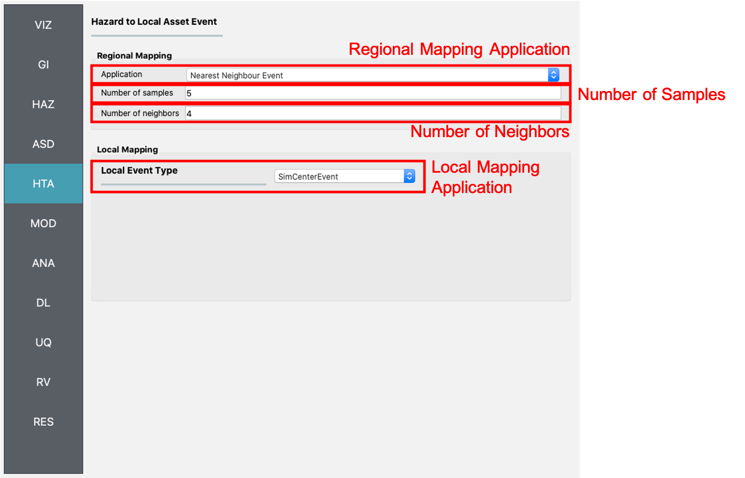
Fig. 2.5.1.1.1 Nearest neighbor event input panel.